Mother Nature Springs A Surprise -- Winter-Like Storm Front In May
SAN FRANCISCO (CBS SF/AP) -- Spring showers may be a common fixture in most of the country, but not in Northern California.
May is generally a relatively dry month with the average rain totals ranging from 0.43 of an inch in Livermore to 0.83 of an inch in Santa Rosa. But Mother Nature unleashed a surprise on the region on Wednesday.
A low pressure system parked off the Northern California coast began sending pulses of rain into the Bay Area where forecasters predicted anywhere from 1/2 inch to 2 inches of rain to fall by next week.
"If the forecast verifies it could be one of the wettest Mays since 2011," the national weather service predicted.
According to KPIX 5 meteorologist Paul Deanno, from 1981-2010 there have been 11 times where May has given San Francisco more than 2 inches rain for the month.
Deanno said the light rain Wednesday morning will turn to soaking showers for the afternoon commute.
"The past seven years have been extremely – or completely – dry in the Bay Area in the month of May," Deanno said. "That has given many of us the feeling that 'it never rains in May.' That's true for July & August, but not true for May. We do typically get one storm or two moving through, but just not recently."
Showers will return to the forecast on Saturday and Tuesday.
"The rainfall over the next 5-7 days is definitely above normal," the national weather service said. "Parts of the region could see more than the monthly normal (rainfall) in just a few days."
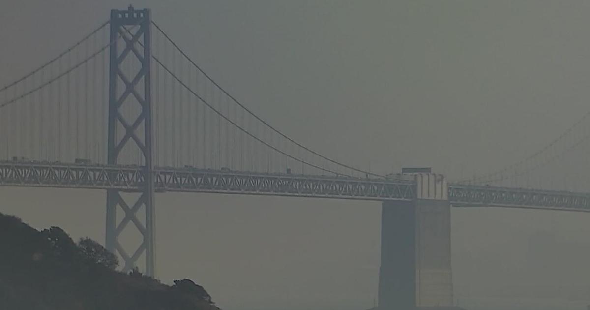
In Sausalito, just across the Golden Gate Bridge, some business owners braced for slower traffic and cancelations because of the wet weather.
Galen Licht, who owns the Sea Trek Kayak, said the rainy forecast is forcing him to cancel a lot of their guided kayaking trips through the San Francisco Bay.
"It's raining here right now and there is nobody here. We don't have any business," Licht said.
He said three groups that had booked kayaking trips for Wednesday canceled.
They offer full refunds when people cancel due to weather but Licht said he hopes some people will still come out Friday, when a break on the stormy weather is expected and they can look at the herons, and pelicans and other wildlife in the Bay and take in the Golden Gate Bridge and San Francisco's skyline from the water.
"It's been a long winter and we think people will be ready to go out there when the weather clears," Licht said. "Will be ready for them."
In the mountains, a winter storm watch goes into effect from Wednesday evening through Thursday night above 5,000 feet.
"Impacts to Sierra passes were not expected until Thursday evening into Friday morning when snow levels fall to near 6000 feet," the weather service said. "Sierra passes from Donner to Carson Pass could see 2-7" of snowfall by Friday morning, but the heaviest snowfall totals are expected on mountain top locations above 8500 feet mainly across Mono County where 10-18" is possible.
The weather service said there was a silver lining to the storm system.
"When it`s all said and done the one outcome that seems most certain is slowing the onset of wildfire season," the weather service said.