Isaias in North Carolina

Below you will find the latest on Isaias in North Carolina.
For the very latest on the forecast, click here.

11:45 p.m. Monday update:
The landfall of Hurricane Isaias sparked a series of house fires and flooding in Ocean Isle Beach, according to our NBC affiliate WECT.
11:10 p.m. Monday update:
Hurricane Isaias made landfall near Ocean Isle Beach, N.C., at 11:10 p.m., according to the National Hurricane Center.
The hurricane is moving north/northeast at 22 mph with maximum sustained winds of 85 mph.
11 p.m. Monday update:
Hurricane Isaias is about 25 miles off the coast of Myrtle Beach, S.C., according to the National Hurricane Center.
The hurricane is moving toward the coast at 22 mph with maximum sustained winds at 85 mph.
The National Hurricane Center said only a gradual weakening is expected once Isaias makes landfall because of an unusually strong jetstream.
Hurricane-force winds are extending up to 25 miles from the eye of the storm, and tropical storm-force winds are extending up to 125 miles from the eye.
10 p.m. Monday update
Multiple tornadoes have been confirmed on the eastern coast of North Carolina, especially in Brunswick County, according to Chief Meteorologist Lanie Pope.
9 p.m. Monday update:
A tornado watch has been issued for many eastern NC counties until 6 a.m.
The NWS reports Hurricane Isaias is now up to maximum sustained winds of 85 mph as it gets closer to making landfall.
8:25 p.m. Monday update:
The National Weather Service has issued multiple tornado warnings for Brunswick County, Columbus County, and New Hanover County as Hurricane Isaias approaches North Carolina.
Nearly 400 people are without power near the Orange and Durham County line near I-40, Erwin Road, and Whitfield Road. Duke Energy says fallen trees are to blame.
8 p.m. Tuesday update:
The National Hurricane Center says that Isaias has been upgraded to a Category 1 hurricane with maximum sustained winds of 75 miles per hour.
Isaias is expected to bring high winds and heavy rains inland overnight.
5 p.m. Monday:
The latest information from the National Hurricane Center shows Tropical Storm Isaias remains a tropical storm with maximum sustained winds of 70 miles per hour. The storm is still expected to make landfall near Myrtle Beach as a Category 1 hurricane later tonight.
A tornado watch has been issued for Brunswick County, Columbus County, Duplin County, New Hanover County, Pender County, and Sampson County until 2 a.m. Tuesday. The threat of tornadoes will increase as Tropical Storm Isaias approaches North Carolina.
3 p.m. Monday:
As communities across eastern North Carolina prepare for high winds and heavy rain from Isaias, Gov. Roy Cooper outlined the state's emergency response Monday afternoon.
(Watch news conference above)
The U.S. National Hurricane Center issued a hurricane warning from South Santee River, South Carolina, to Surf City, North Carolina.
A tropical storm warning was extended northward up the U.S. East Coast all the way to mouth of the Merrimack River in New Hampshire.
Isaias was still a tropical storm at 2 p.m. EDT with maximum sustained winds of 70 mph (110 kph), but it was expected to strengthen into a Category 1 hurricane later Monday, with winds of 74 mph (119 kph) or more.
“We are forecasting it to become a hurricane before it reaches the coast this evening,” senior hurricane specialist Daniel Brown said. “It’s forecast to produce a dangerous storm surge, of 3 to 5 feet (0.9 to 1.5 meters) in portions of North and South Carolina.”
RELATED: Latest spaghetti models, maps, radar
2 p.m. Monday:
Tropical Storm Isaias has maximum sustained winds of 70 mph and is tracking north at 15 mph.
The storm is 325 miles south-southwest of Raleigh and expected to make landfall near Myrtle Beach around 9 p.m.
11 a.m. Monday:
Tropical Storm Isaias continues along a path toward the Carolinas with wind speeds of 70 mph. The storm is expected to strengthen before making landfall around 9 p.m. near Myrtle Beach.
The National Weather Service has issued a Tropical Storm Warning for much of the eastern half of North Carolina. That means that tropical storm force winds, with gusts of up to 40 mph, are possible in the next 36 hours.
8 a.m. Monday:
Isaias was forecast to be near hurricane strength as it approached the Carolinas Monday, just a day after bands of heavy rain from the tropical storm lashed Florida's east coast.
The U.S. National Hurricane Center issued a hurricane warning from South Santee River, South Carolina, to Surf City, North Carolina, in its 8 a.m. advisory.
Tropical Storm Isaias had maximum sustained winds of 70 mph and was expected to strengthen later Monday, forecasters said. A Category 1 hurricane has winds of 74 to 95 mph.
Sunday 7 p.m.
The North Carolina Department of Public Safety launched a new web page to keep people safe and informed during Tropical Storm Isaias. Click here.
Sunday 5 p.m.:
Tropical Storm Isaias strengthened while moving north-northwestward just offshore of the Floridian coast, the National Hurricane Center said.
Isaias is projected to pass off the coast of Florida, Georgia and South Carolina before moving inland over North Carolina late Monday, according to the latest track.
Some fluctuations in strength are possible over the next 36 hours, but the storm is expected to reach the Carolinas as a tropical storm.
A hurricane watch has been issued and is now in effect along the coast of North Carolina as far north as Surf City.
A tropical storm warning has been extended along the coast of North Carolina as far north as Ocracoke Inlet.
A tropical storm watch has been issued for the coast of North Carolina as far north as Rhode Island.
A storm surge watch is in effect in North Carolina from Cape Fear to Duck. The estimated storm surge in this area could reach 2 to 4 feet, according to the National Hurricane Center.
The potential for tornadoes will begin in eastern North Carolina Monday night, according to the National Hurricane Center.
Sunday 4:30 p.m.:
The North Carolina Parks and Recreation Department tweeted state park closures because of Tropical Storm Isaias.
Sunday 4 p.m.:
President Donald Trump approved the emergency disaster declaration for North Carolina. This makes federal funding available to state, eligible local governments and specific nonprofits for emergency protective measures.
Public Assistance, Category B federal funding limited to reimbursement for mass care including evacuation and shelter support is available to Beaufort, Bertie, Brunswick, Camden, Carteret, Chowan, Craven, Currituck, Dare, Duplin, Gates, Hertford, Hyde, Jones, Lenoir, Martin, New Hanover, Onslow, Pamlico, Pasquotank, Pender, Perquimans, Pitt, Tyrrell and Washington counties.
Public Assistance, Category B federal funding assistance for emergency protective measures is available to Alamance, Alexander, Alleghany, Anson, Ashe, Avery, Bladen, Buncombe, Burke, Cabarrus, Caldwell, Caswell, Catawba, Chatham, Cherokee, Clay, Cleveland, Columbus, Cumberland, Davidson, Davie, Durham, Edgecombe, Forsyth, Franklin, Gaston, Graham, Granville, Greene, Guilford, Halifax, Harnett, Haywood, Henderson, Hoke, Iredell, Jackson, Johnston, Lee, Lincoln, Macon, Madison, McDowell, Mecklenburg, Mitchell, Montgomery, Moore, Nash, Northampton, Orange, Person, Polk, Randolph, Richmond, Robeson, Rockingham, Rowan, Rutherford, Sampson, Scotland, Stanly, Stokes, Surry, Swain, Transylvania, Union, Vance, Wake, Warren, Watauga, Wayne, Wilkes, Wilson, Yadkin and Yancey counties and the Eastern Band of Cherokee Indians.
Sunday 3 p.m.:
North Carolina Gov. Roy Cooper is cautioning residents not to overlook the potential threats of Isaias.
The governor gave an update on the storm's approach Sunday.
(Watch the full news conference below)
He says tropical force winds are expected to begin after dark Monday and into Tuesday morning.
He says tropical-storm-force winds are forecast for the eastern third of the state with gusts of 50 to 65 mph for the coastal plain and 30 to 45 mph in central North Carolina. Cooper says the storm turned more inland over the weekend. He says that increases the threat of heavy rain, tornadoes and flash flooding in eastern North Carolina.
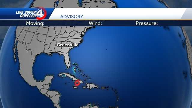
Latest track:
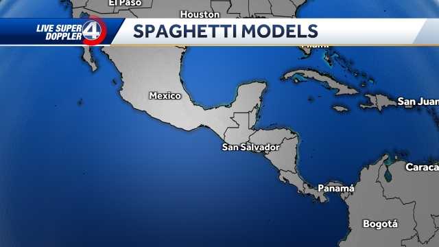
Latest spaghetti model:
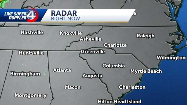
Latest storm stats/radar:
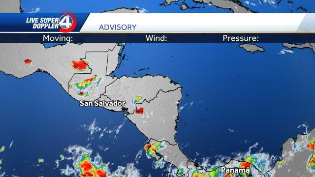
Latest local radar:
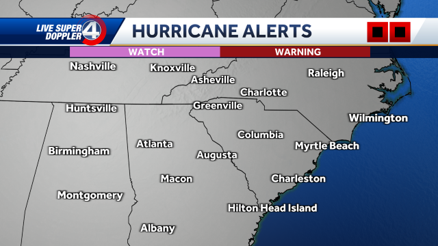
Hurricane alerts:
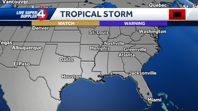
Tropical storm advisories:
Storm surge alerts: