- India
- International
Wednesday, Apr 24, 2024
Journalism of Courage
 Prime Minister Imran Khan unveiled a ‘new political map’ of Pakistan on Tuesday (Representational)
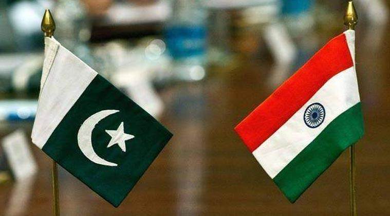
On the eve of the first anniversary of the withdrawal of Jammu and Kashmir’s special status under Article 370 and its bifurcation into Union territories, Pakistan on Tuesday released a new political map which depicts J&K as a disputed territory, and claims the regions of Sir Creek and the erstwhile state of Junagadh in Gujarat as part of its territory. Reacting sharply to the move, India called it an “exercise in political absurdity”.
“We have seen a so-called political map of Pakistan that has been released by Prime Minister Imran Khan. This is an exercise in political absurdity, laying untenable claims to territories in the Indian State of Gujarat and our Union Territories of Jammu & Kashmir and of Ladakh. These ridiculous assertions have neither legal validity nor international credibility. In fact, this new effort only confirms the reality of Pakistan’s obsession with territorial aggrandisement supported by cross-border terrorism,” the MEA said in an official statement. The map was unveiled by Pakistan Prime Minister Imran Khan, who claimed that it negates India’s “illegal action” of August 5, and that it had been endorsed by the federal cabinet. This map will now be officially used in Pakistan’s curriculum, Khan said.
The map depicts the entirety of Jammu and Kashmir as a disputed territory while also incorporating Siachen as part of Pakistan. It does not show any borders in the east of Kashmir, where China illegally occupied Aksai Chin. It also incorporates Sir Creek into Pakistani territory as well as parts of the erstwhile princely state of Junagadh.
The map also shows the Federally Administered Tribal Areas as being part of Khyber Pakhtunkhwa province.
The Pakistan cabinet also approved the decision to rename a major road in Islamabad as Srinagar Highway. The road was previously called Kashmir Highway.

This is not the first time Pakistan has tried to portray Junagadh as part of its territory. The 2012 Atlas of Islamic Republic of Pakistan also portrayed Junagadh as a separate territory.
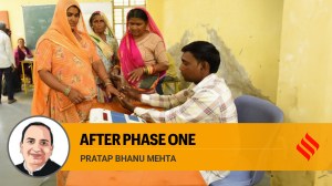
I met nobody in rural India who saw Modi asSubscriber Only

India’s trade with Israel & Iran, and impact of regionalSubscriber Only
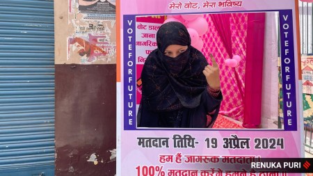
As Lok Sabha polls begin, it’s over to the youngSubscriber Only
'Only Modi can shoulder task of PM for third term':Subscriber Only

'7% is not an adequate growth rate, India ought toSubscriber Only