Wet and Windy Day Ahead Tomorrow
Weather Update – Sunday, January 24
Scattered showers moved through the region of West Tennessee today bringing a start to the wet beginning of our week. Temperatures struggled to reach into the 50s but still remained warmer-than average. We saw a mostly cloudy skies with some light rain for a majority of the day. We are currently seeing a small break before rain chances return again tonight.
TONIGHT:
As a warm front approaches the region, thunderstorms will move in shortly after midnight tonight. A strong band will appear between 1 and 4 am. Expect moderate to heavy rain at times with possible thunder and lightning at times as we see some warmer temperatures at the ground than at cloud level. Temperatures should not drop much more than they already have, bottoming out in the mid to upper 40’s. Strong winds are likely tonight as this band passes through and into the early morning hours.

TOMORROW:
The region of West Tennessee remains in a marginal severe risk for the day on Monday. Thunderstorms will remain throughout the day, with moderate to heavy rainfall and increasing wind speeds. Expect 1-2″ for most parts of West Tennessee in terms of accumulation tomorrow. The most accumulation is towards our NW counties – Lake and Obion. Winds between 10 and 20 mph are possible tomorrow, especially for those in our middle to southern counties. A cold front will move past us that evening dropping temperatures slightly into Tuesday. We should see storms taper off after sunset giving us a dry break into Tuesday. Don’t forget to download the new WBBJ Weather app on your Android device or iPhone to stay ahead of the Thunderstorms throughout the day.

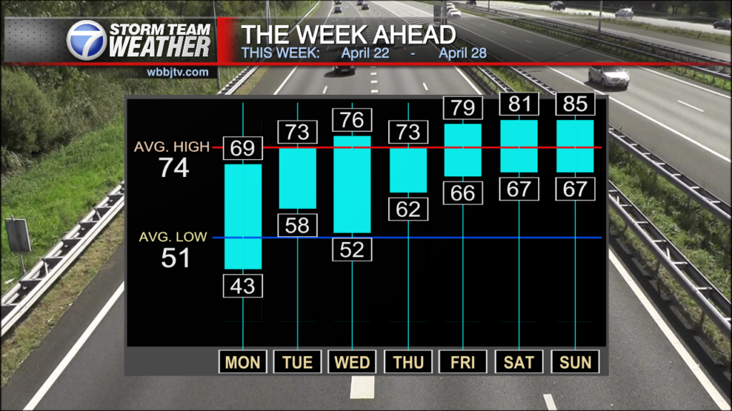
Into Tuesday, expect some partly sunny skies with temperatures in the mid 50s. The tail end of a cold front will move past us into Tuesday evening, dropping our warmer-than-average temperatures back to average. Some more scattered showers will move in Wednesday afternoon but taper off shortly after leaving us with a dry day on Thursday and Friday. Temperatures will be cool but a few pockets of sunshine are likely through the clouds. If you want to get out and do something, those will be your days. Rain showers return Saturday afternoon into the evening and last into Sunday evening. Stay tuned to WBBJ 7 Eyewitness News for the latest forecast and for more updates keep up with Storm Team Weather online too.
Shaley Dawson
Storm Team 7 Meteorologist
Twitter – @ShaleyWBBJ7
Facebook – @shaleywbbj7
Email – @sdawson@wbbjtv.com