

Hiking Southern Utah: Mollies Nipple
Trail: Mollies Nipple
Location: Hurricane
Difficulty: Easy (alternate strenuous route available)
Distance: 2.2 miles roundtrip
Average Hiking Time: 1.5 hours (including time to enjoy the view at the top)
Total elevation gain: 320 feet
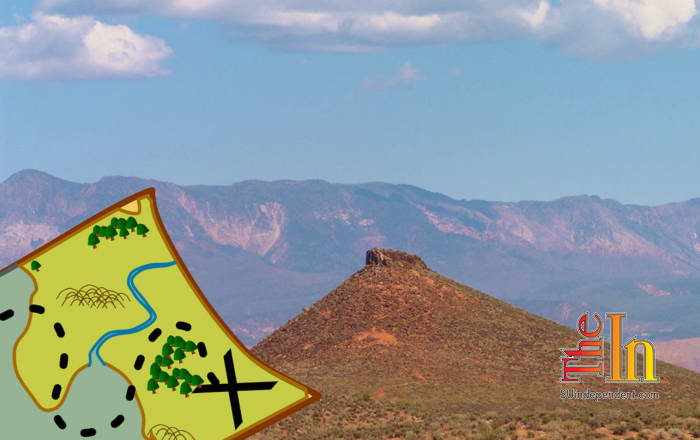
Mollies Nipple is a prominent landmark that overlooks the Hurricane Valley and has much historical and geological significance. Technically, the black volcanic formation is a butte — an isolated hill, more narrow than a mesa, with steep sides and a flat top. It is the remains of an ancient lava flow that ran through the valley after erosion and changes in the Hurricane Fault took place.
Historically, the indigenous peoples who inhabited the area used the butte to light fires and send smoke signals to rally seed gathering parties and hunting expeditions. There are several geological formations throughout the United States with the name “Mollies Nipple.” You might think that there should be an apostrophe in the name, but in accordance with the standards established by the U.S. Board on Geographic Names, there is not.
You might wonder who this “Mollie” was that so many points of interest were named after her. Mollie was actually not a specific person but rather a slang term for “harlot” or “prostitute” that was used as long ago as the early 1700s. “Nipple” is a term given to many geological features that, for lack of a better descriptor, look like nipples. This is only one of many risque toponyms bestowed upon landmarks by irreverent miners and ranchers as a form of geographical cussing. (Insert any number of jokes that have been made about said nipple over the years.)
There are two ways to reach the top of Mollies Nipple: from the backside by dirt road, or up the front via the Hurricane cliffs. The first option makes for a rather easy hike; the second is significantly more strenuous. The day we chose to explore the nipple, we opted for the easy way, but I plan to go back soon to explore the more difficult route.
To access the easier option, take State Road 59 east from Hurricane for 3 miles, and turn right onto the gravel road that goes past Olympus Academy (formerly Diamond Ranch Academy). Drive three more miles down this road, past the Academy, through Gould Wash. Turn right onto another dirt road and drive 1/3 mile until you get to another road on your right — its entrance is marked by a cattle guard. Follow this road for another mile down into Frog Hollow Wash Reservoir and back up the other side. The road gets fairly bumpy at this point, and a high clearance vehicle is needed. Stay on this road as it heads southwest for another mile. Look for another road to the right that heads west and down into Workman Wash. We chose to park here as the road gets significantly more treacherous. The dirt road that continues to the base of Mollies Nipple is an easy 1-mile trek.
The trail up the side of the nipple is short but steep and involves some scrambling over volcanic rock. Once at the summit, hikers can enjoy the stunning 360-degree view that includes Sand Hollow and Quail Creek Reservoirs and Pine Valley Mountain as well as glimpses of Zion National Park.
If you are up for a challenge, you can access the face of Mollies Nipple by driving south from State Route 9 in Hurricane on 700 W for 2.4 miles. Turn left on 2300 S and then right on 675 W. Drive to the end of the pavement, and turn left into the gravel parking area. There is a trail gate just to the south of the parking area. The narrow, difficult trail up the face involves 1,300 feet in elevation gain and has steep drop-offs along most of the way.


