- India
- International
Wednesday, Apr 24, 2024
Journalism of Courage
 NDRF team announces cyclone-related alerts, ahead of landfall of Cyclone 'Yaas', in Howrah district. (PTI)
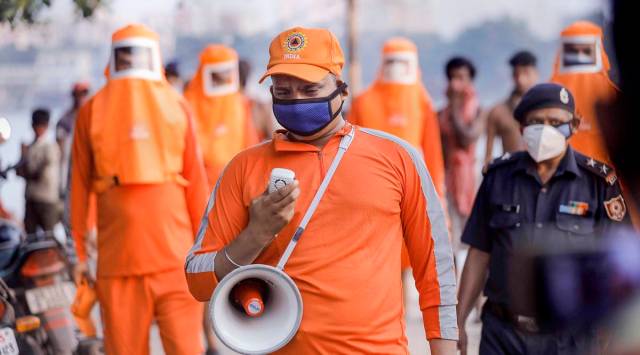
The West Bengal government on Sunday said disaster management teams and relief materials had been sent to coastal areas in preparation for Cyclone Yaas, which is expected to hit the state on the evening of May 26. The railways cancelled scores of trains even as a Met department official forecast wind speed between 155 and 165 kmph when the storm makes landfall between Paradip in Odisha and Sagar Island in West Bengal.
In a notification, the state administration relaxed lockdown norms and allowed rural development work, including emergency flood control and pre-monsoon essential projects. The government also allowed all activities related to agriculture, horticulture and floriculture.
As the government went ahead with its preparations, the deputy director of the Regional Meteorological Centre in Kolkata, Sanjib Bandyopadhyay, said the cyclone would intensify in 24 hours. The storm was centred about 670 km south-southeast of Digha in West Bengal and 590 km east-southeast of Paradip, he added.
“In subsequent 24 hours, it will intensify into a very severe cyclonic storm and reach North Bay of Bengal near West Bengal-Odisha coasts on May 26 morning. It will cross into land on May 26 evening between Paradip and Sagar island as a very severe cyclonic storm,” said Bandyopadhyay.
According to the Met official, wind speed between 40-60 kmph is likely to prevail in North Bay of Bengal, off the Odisha, West Bengal and Bangladesh coasts, from the evening of May 24.

“The wind speed will gradually increase thereafter, reaching 90 to 100 kmph gusting to 110 kmph in the afternoon of May 26. It will increase to 155 to 165 kmph when it crosses the coast on May 26 evening,” said Bandyopadhyay.
There will be light to moderate rainfall from May 25 in most places in the districts of Purba Medinipur, South and North 24 Parganas, Paschim Medinipur, Howrah, Hooghly and Kolkata. One or two places may receive heavy to very heavy downpour.
“On May 26, the spread and intensity of rain will increase with the possibility of extremely heavy rainfall in Jhargram, East and West Midnapore, North and South 24 Parganas, Howrah, Hooghly and Kolkata,” said Bandopadhyay.
Sea conditions will be “high to very high” in North Bay of Bengal from May 24 to May 26. Fishermen have been advised not to venture into the sea.
To help with relief and humanitarian operations, the Indian Air Force (IAF) has 11 transport aircraft and 25 helicopters ready, according to its officials. The IAF airlifted 21 tonnes of relief materials and 334 National Disaster Response Force (NDRF) personnel to Kolkata and Port Blair from three different places on Sunday.
Meanwhile, the Eastern Railways cancelled at least 25 trains, including the Guwahati-Bangalore Cant Superfast Express, Muzaffarpur-Yesvantpur Express, Ernakulam-Patna Express, New Tinsukia-Tambaram Special, and the Bhagalpur-Yesvantpur Special.