


Warmup ahead
INDIANAPOLIS (WISH) — We dealt with some snow showers across central Indiana for a good chunk of our Thursday with warmer temperatures in place. A cold end to the week is expected before relief from the chilly weather arrives over the next few days.
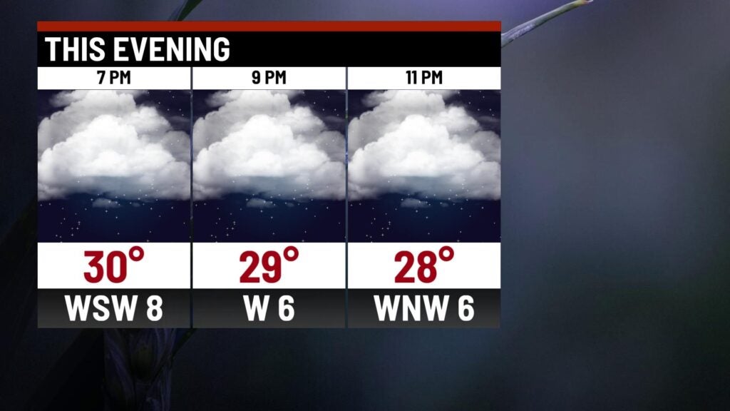
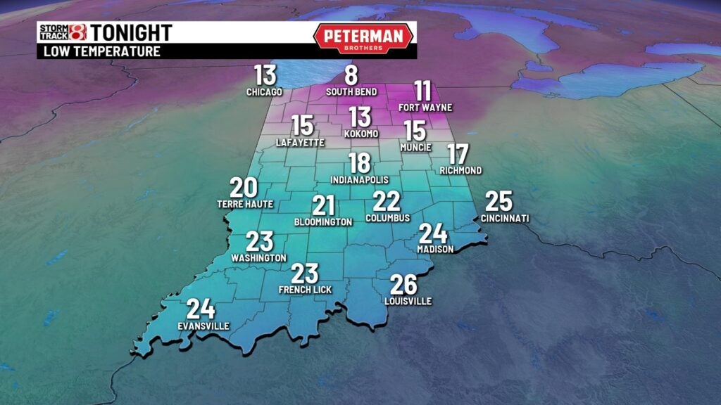
Thursday night: Skies will become mostly cloudy by tonight with a few flurries possible. Any untreated surfaces will be slick. Lows look to drop into the mid teens to low 20s.
Friday: A few morning flurries cannot be ruled out to start our Friday. Cloud cover is set to decrease a little bit, leading way for a bit more sunshine by Friday afternoon. However, it will still be a rather cold day despite the extra sunshine with highs only rising into the mid 20s.


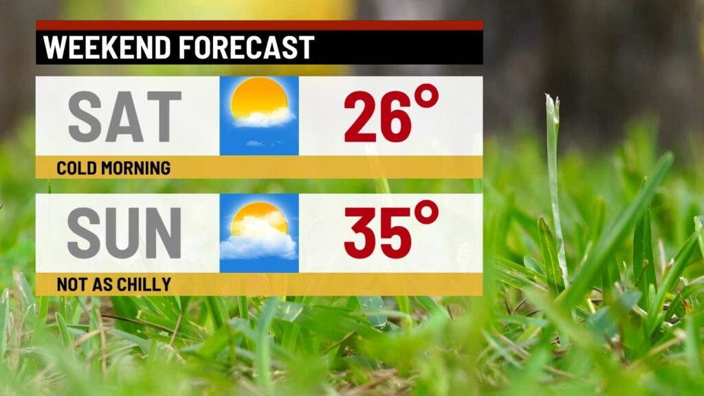
Weekend: Mainly quiet conditions are expected for the final full weekend of January as we begin to work in a warming trend. Saturday will still feature quite chilly temps with numbers topping out in the mid 20s. A bigger temperature rebound will swing in for our Sunday with highs returning into the mid 30s.
8-Day Forecast: The warmup continues going into the new workweek next week. As we kick off the month of February next Tuesday, highs look to push towards the low 50s. This warmer air will open the door for a rather active period of weather through midweek. Rain chances are set to linger through Thursday with the possibility of a changeover to snow. Arctic air is then expected to return by late next week.
